iPACT network webinar 1 - Geodesign & Environmental Resilience
iPACT network webinar 1 - Geodesign & Environmental Resilience
Date & Time
Location
Online - TEAMS Register through this MS Office Form https://forms.office.com/e/cwk1GUhQjQ to be sent the TEAMS link for this webinar.Categories
Resilient infrastructure and urban systemsShare this
Hosted by Dr Leon Cruikshank, ImaginationLancaster, Lancaster University
Dr Paul Cureton, Lancaster University.
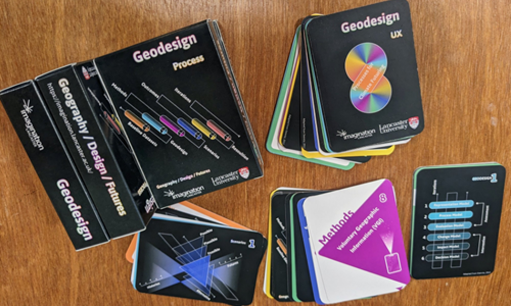
Dr Paul Cureton FRSA is Director of Post-Graduate Research, Lancaster Institute for the Creative Arts. He has just launched a set of resources that take Geodesign into a more participatory direction working with 12 council partners.
Geodesign is a framework and series of methods developed by Carl Steinitz for collaborative decision-making between built environment professionals and natural sciences using geographic information systems (GIS). The framework has been established for over twenty-five years and is pertinent to contemporary coastal challenges and multidisciplinary work for climate futuring (Hollstein, 2019). This presentation presents a state of the art of Geodesign. It offers a new delivery mechanism for Geodesign using UX cards as a design tool for non-traditional audiences and an applied case study to demonstrate its relevance in complex coastal environments for resilience.
References
Leah M. Hollstein, Retrospective and reconsideration: The first 25 years of the Steinitz framework for landscape architecture education and environmental design, Landscape and Urban Planning, Volume 186, 2019, Pages 56-66. ISSN 0169-2046.
Paul Cureton, Geodesign a Collaborative Framework, July 2023.
Register through this MS Office Form to be sent the TEAMS link for this webinar.